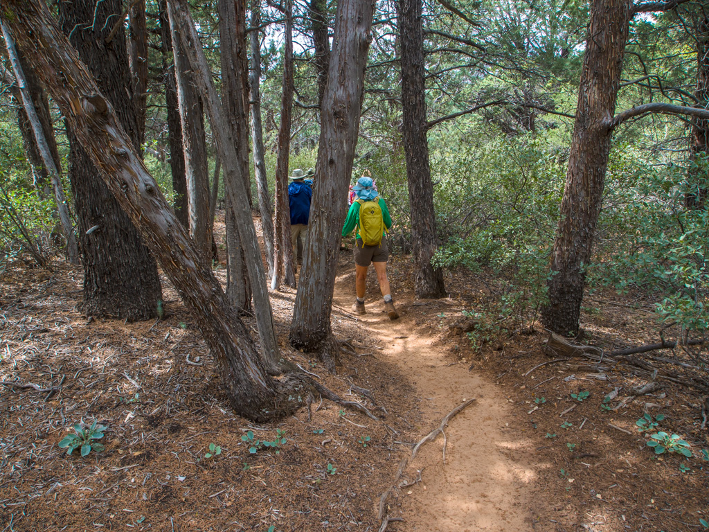
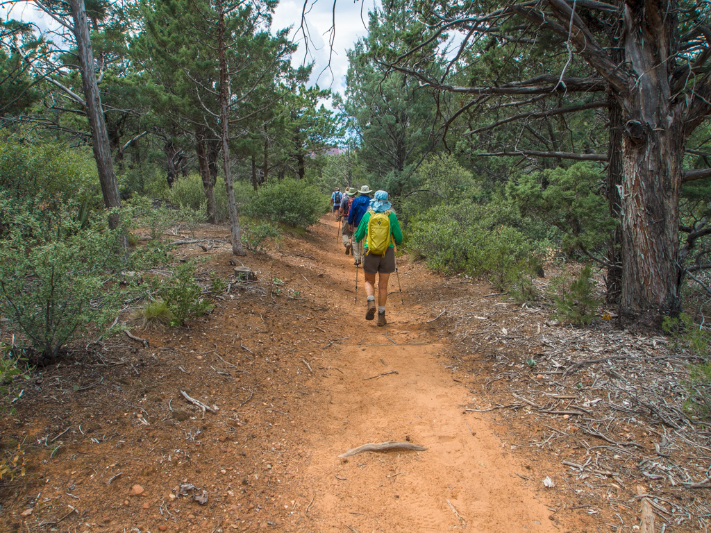
This hike starts at the hard-to-reach inner trailhead on Forest Road 152, rather than in Oak Creek Canyon, and goes to the top of the pass overlooking the Canyon, then back.
1 VULTEE ARCH STERLING PASS
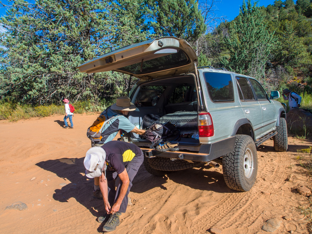
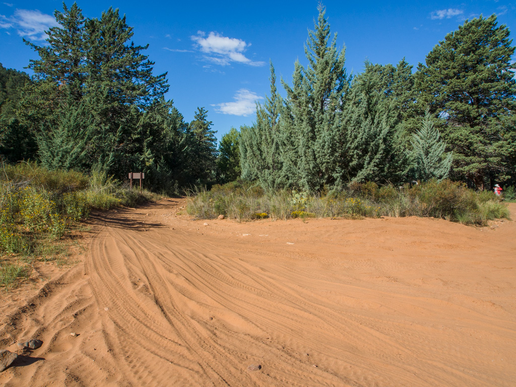
2 This is the 'easy' end of Forest Road 152, which is now mostly impassable
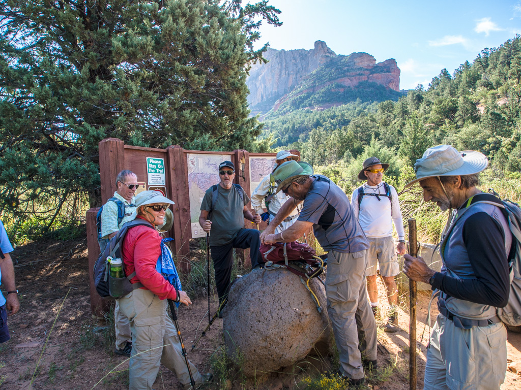
3 The Vultee-Sterling trailhead.
4
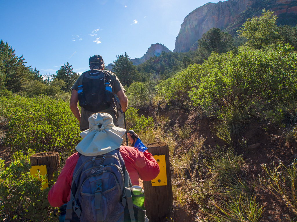
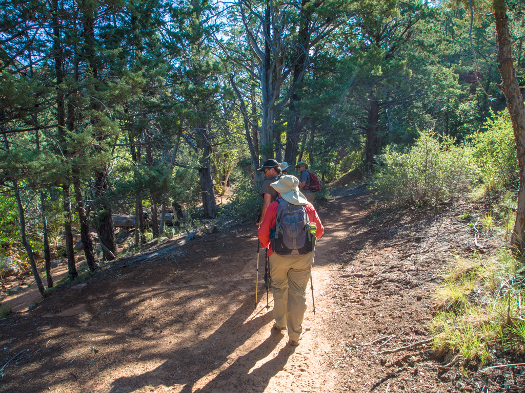
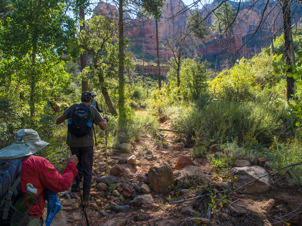
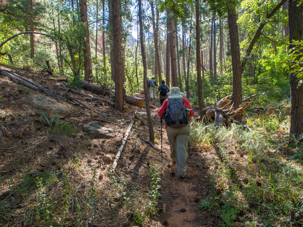
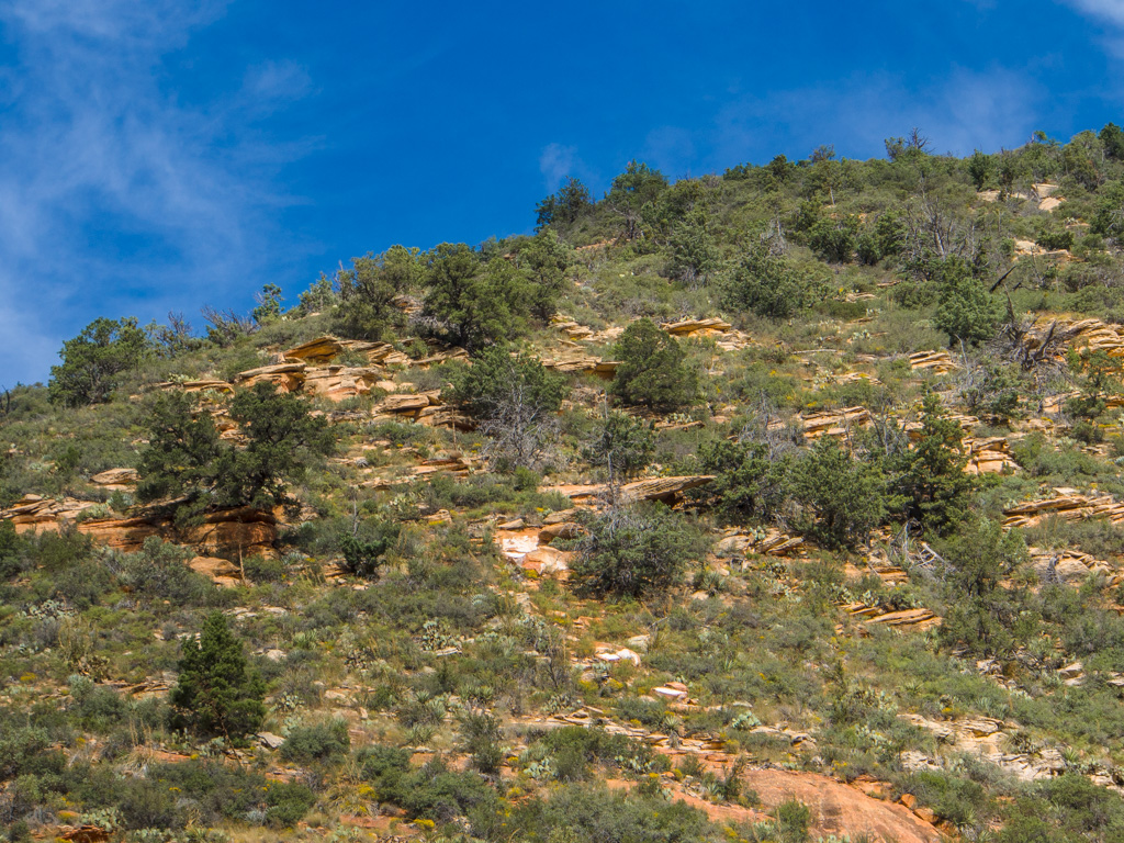
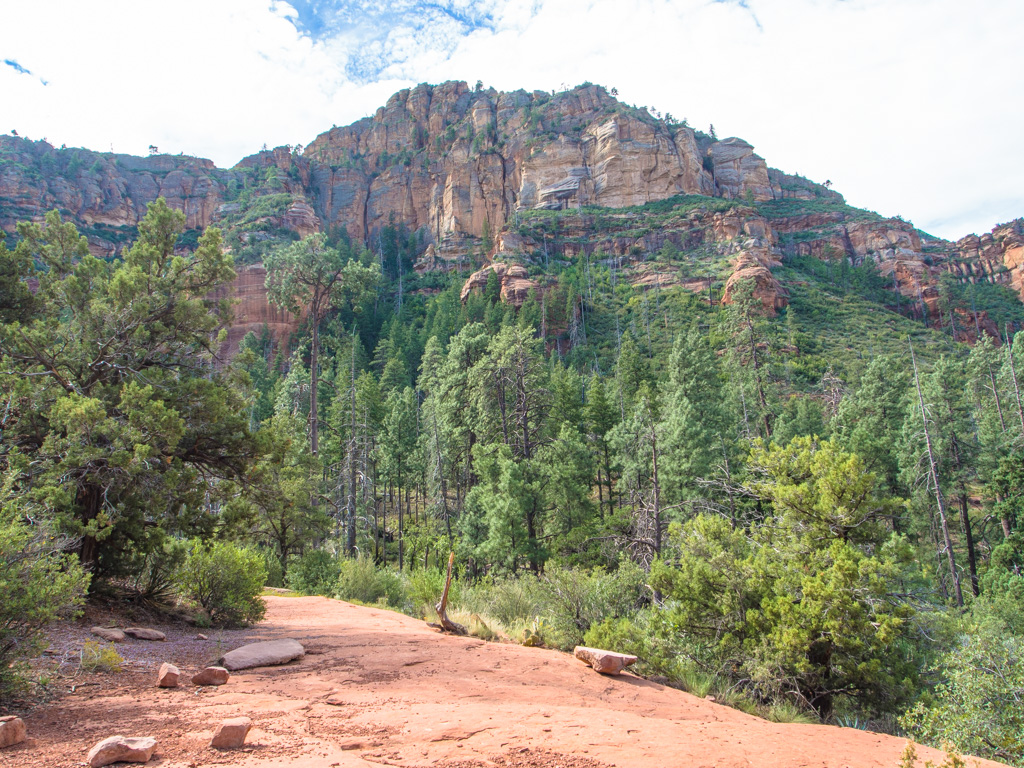
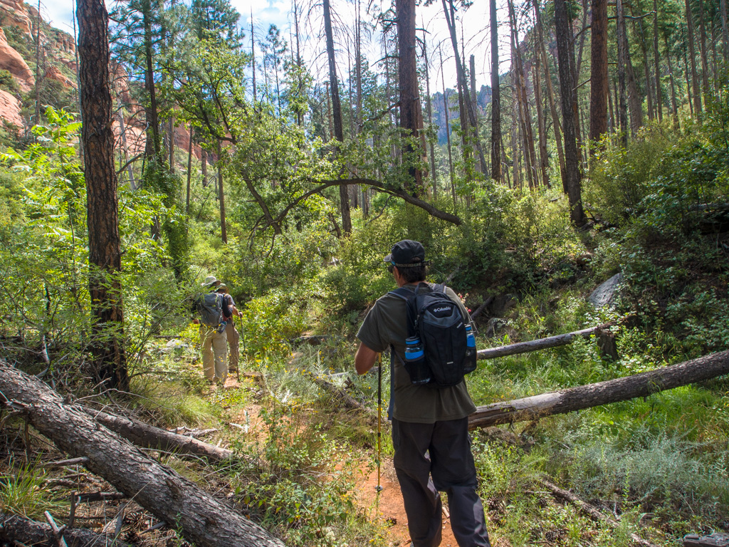
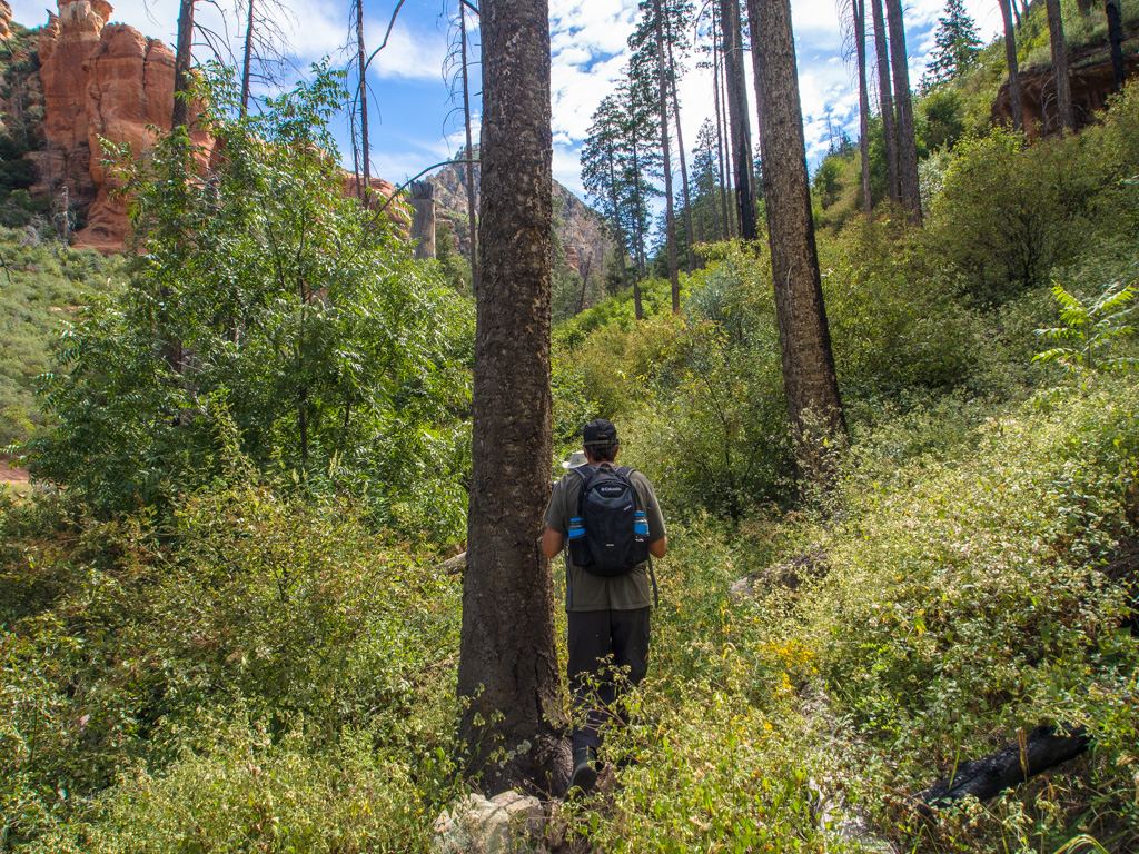
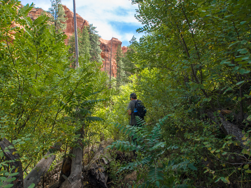
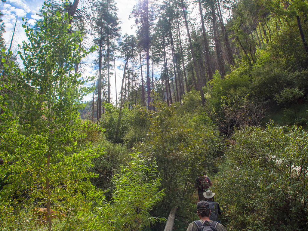
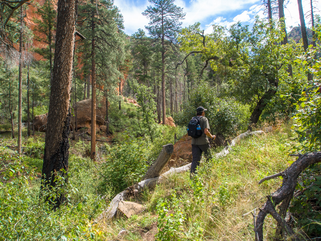
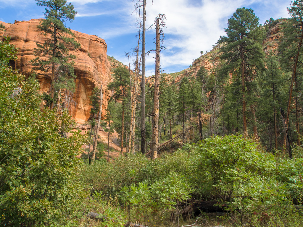
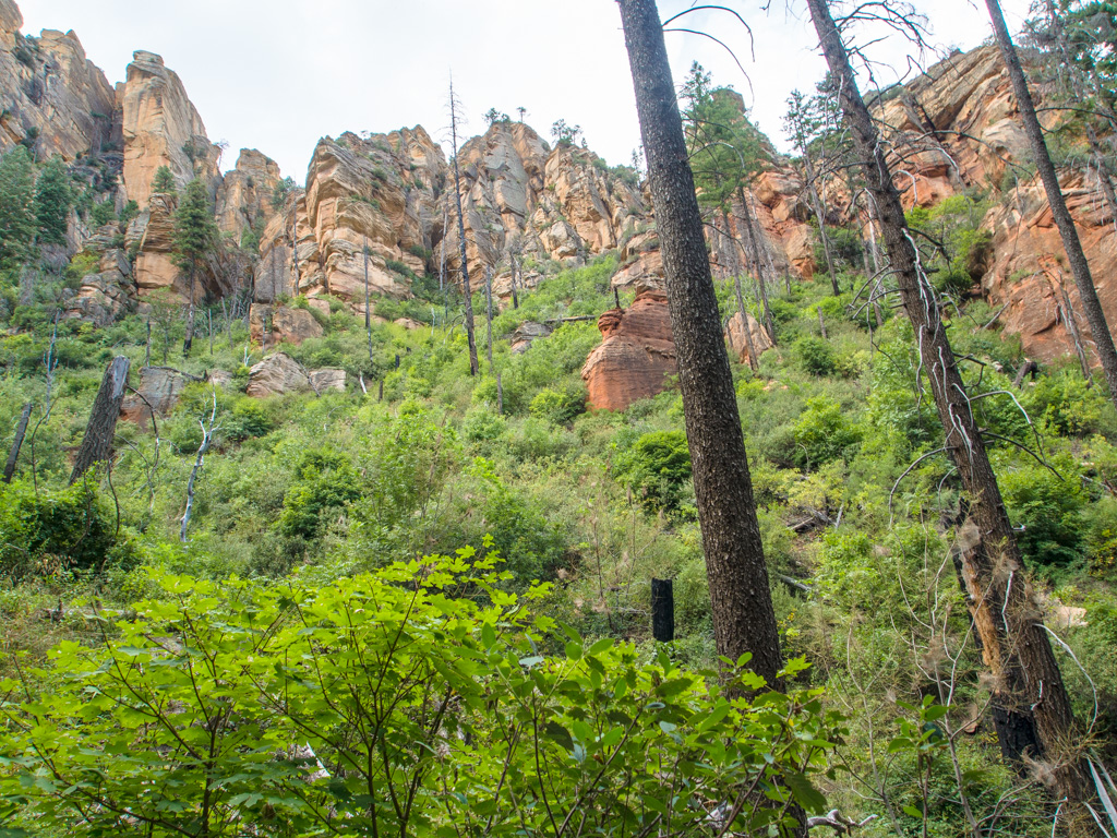
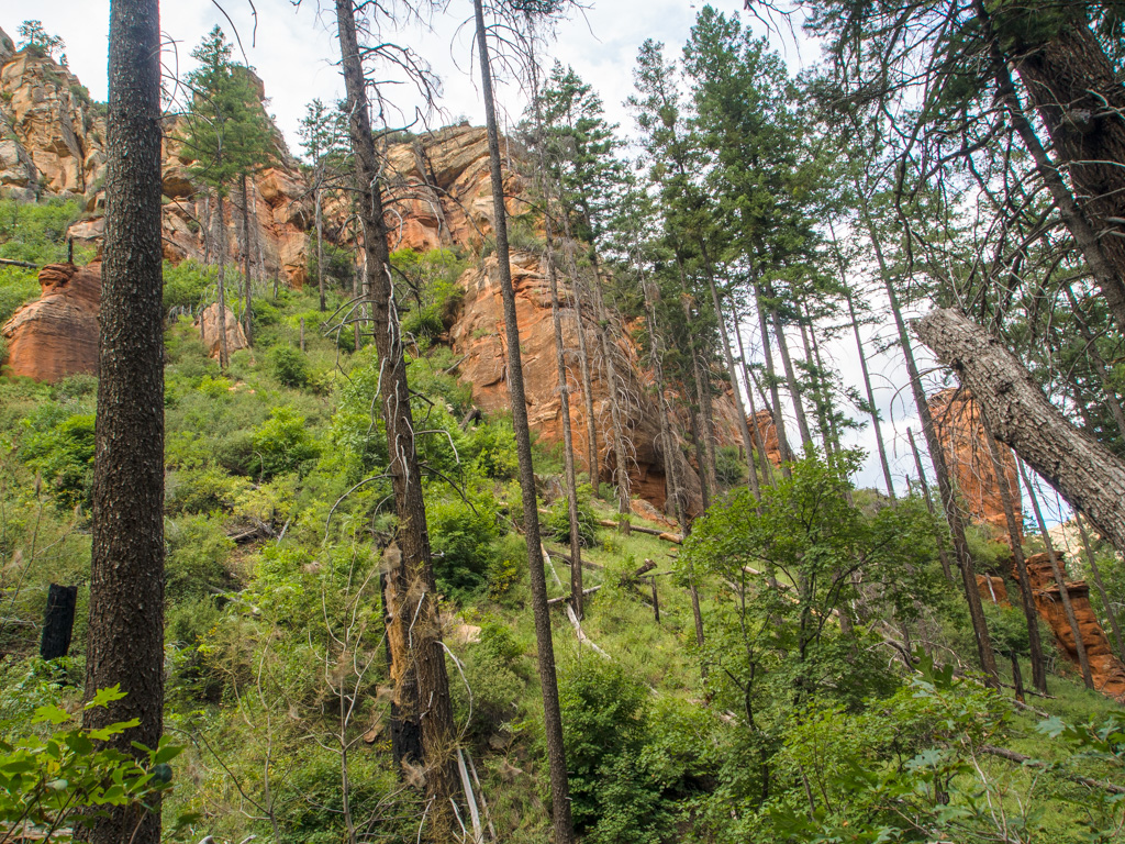
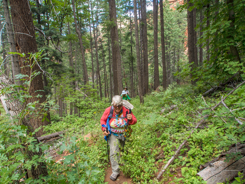
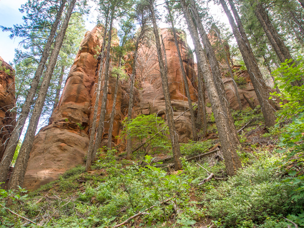
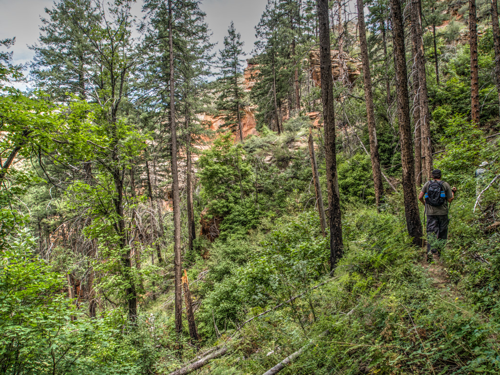
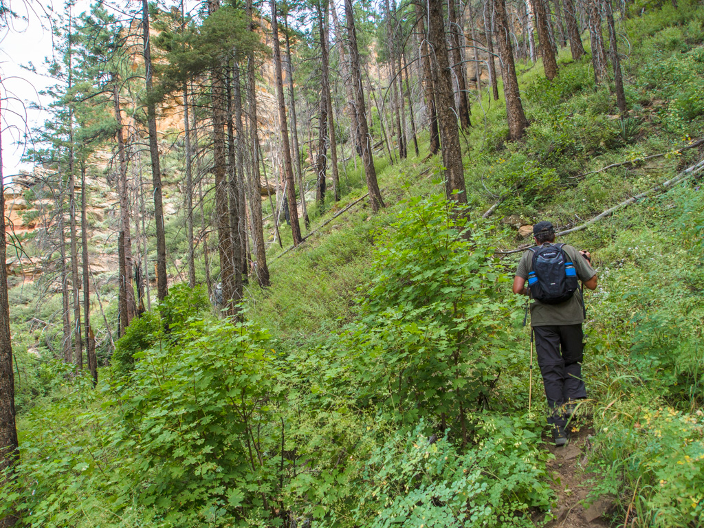
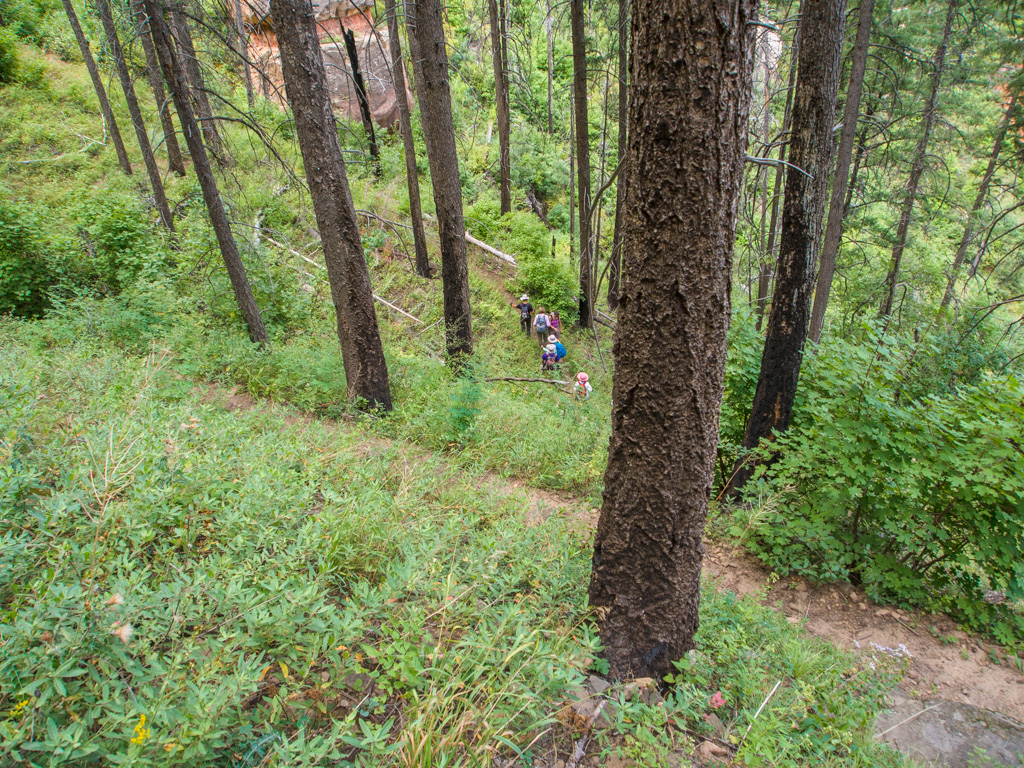
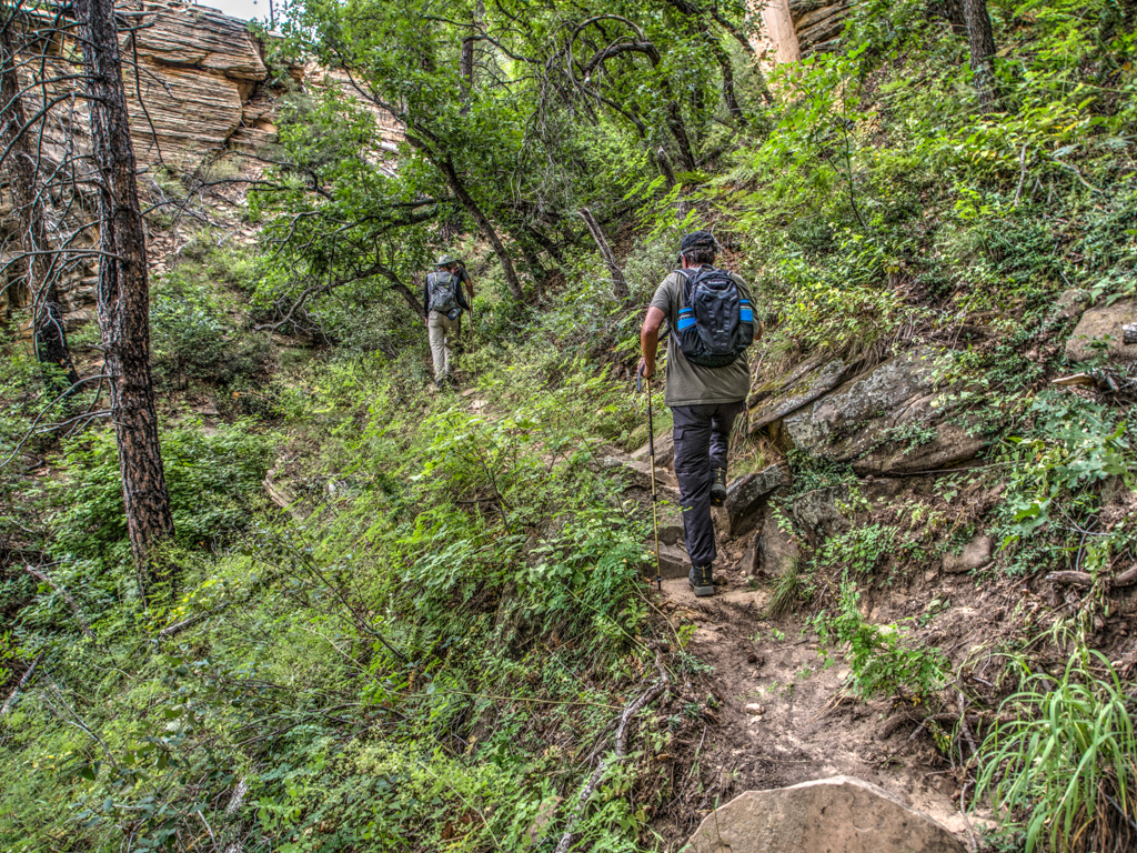
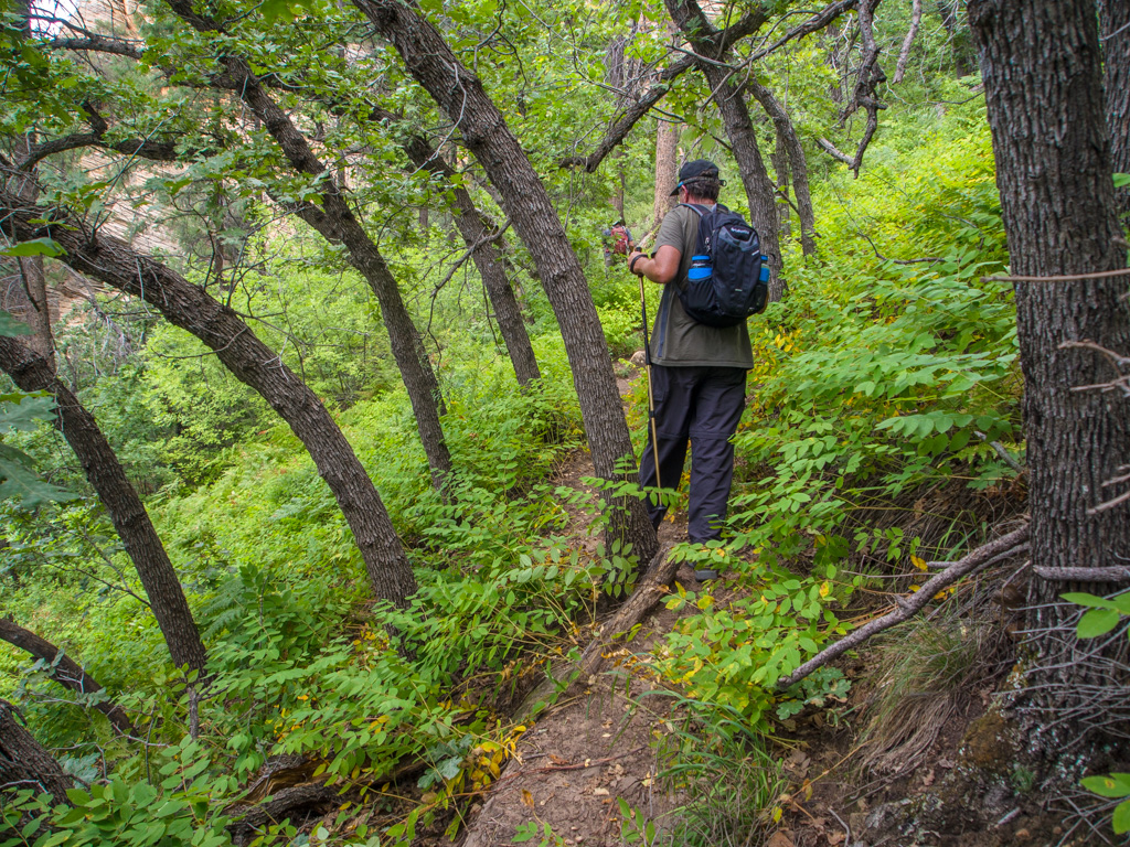
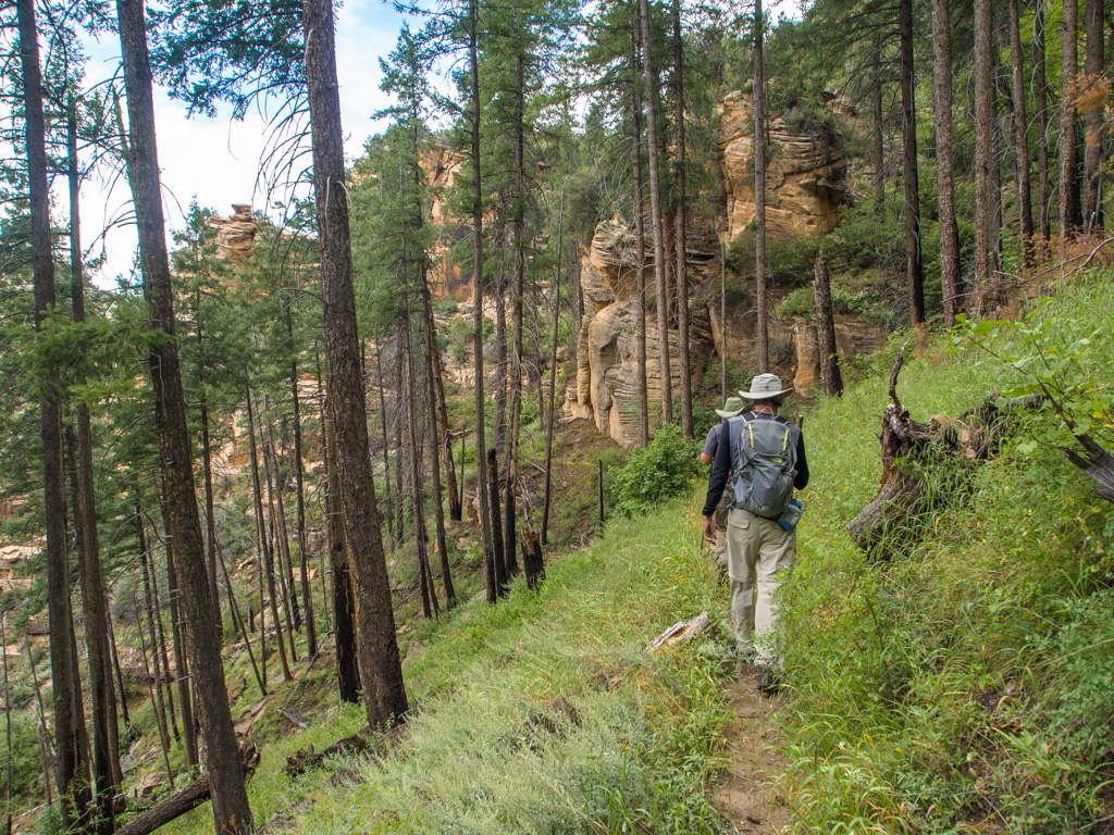
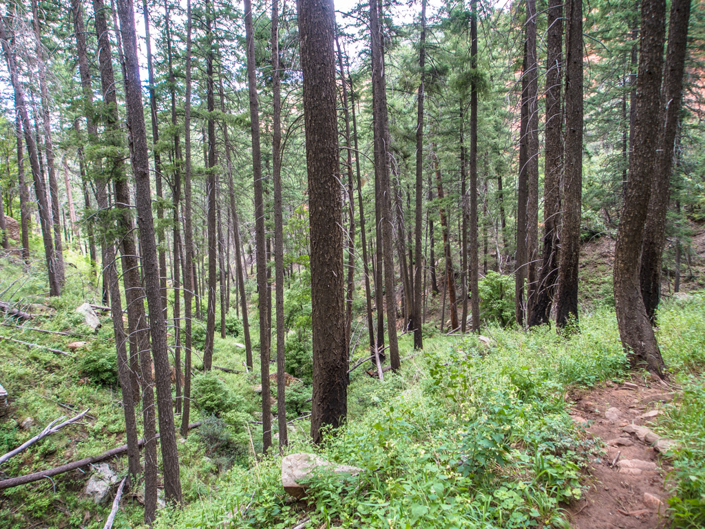
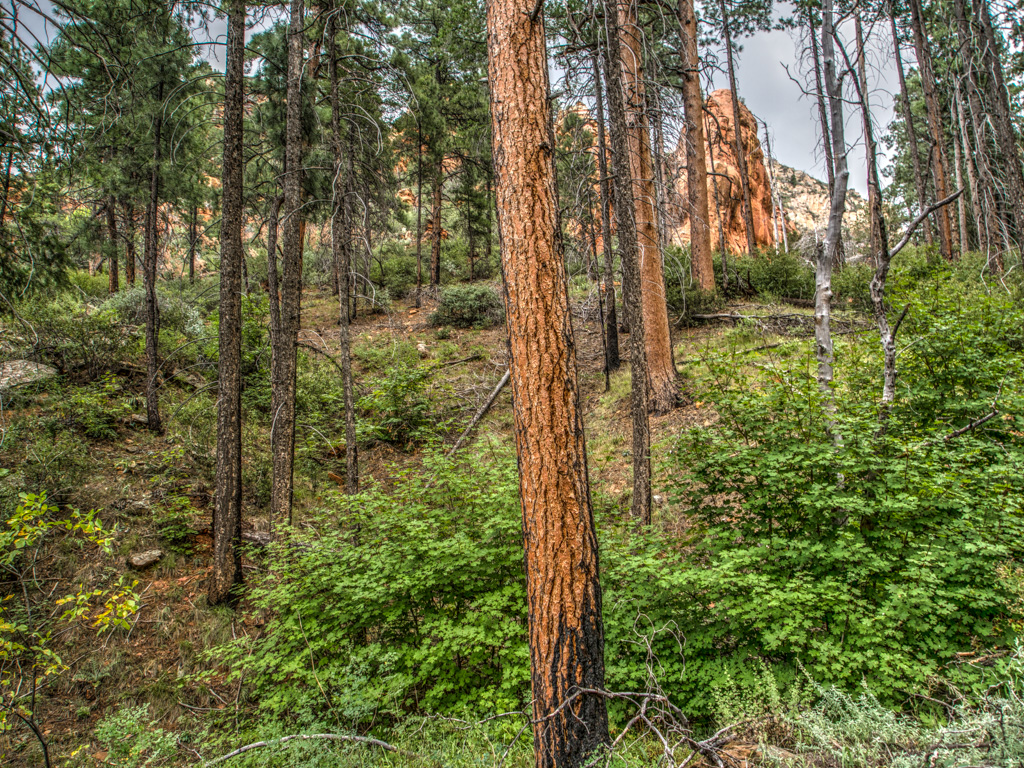
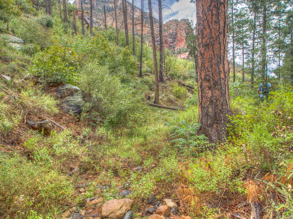
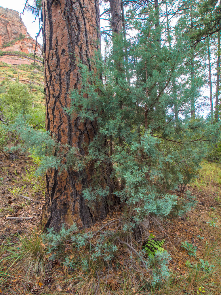
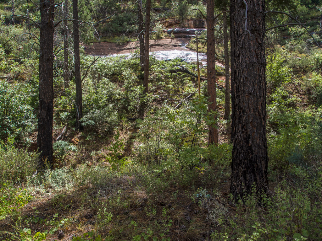
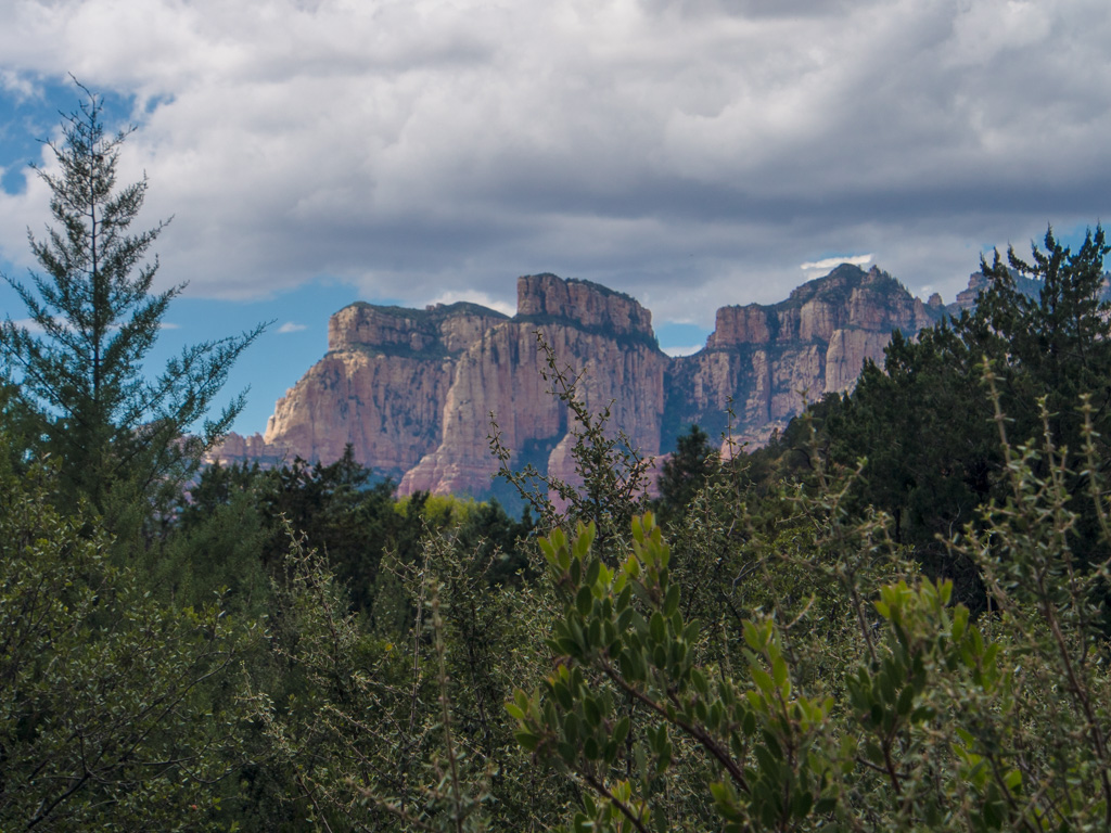
5 Heading slowly upward toward the top of Sterling Canyon
6
7
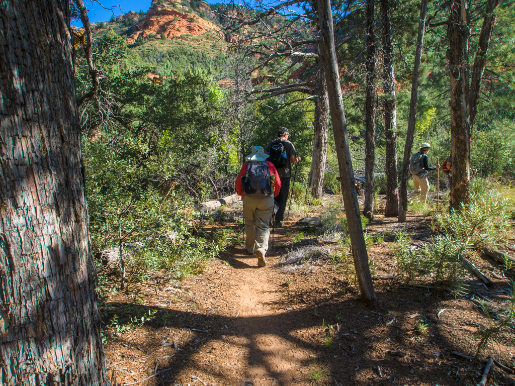
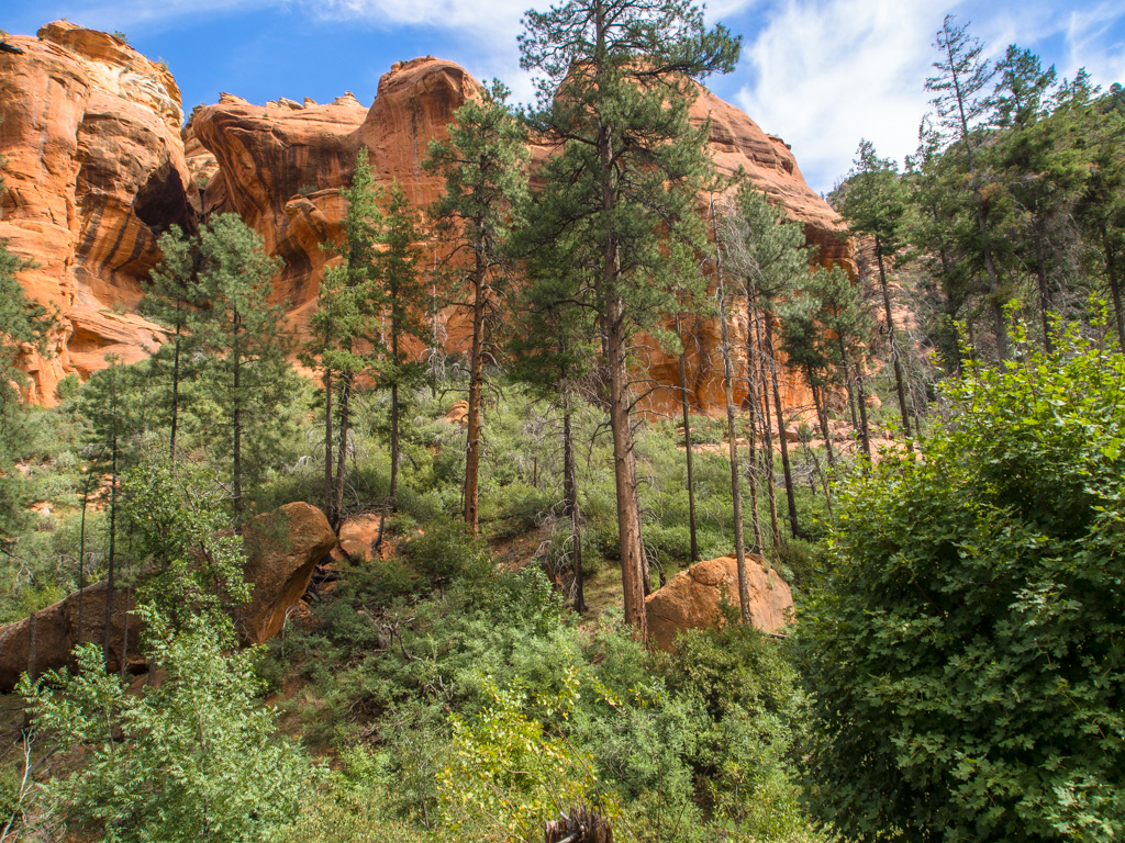
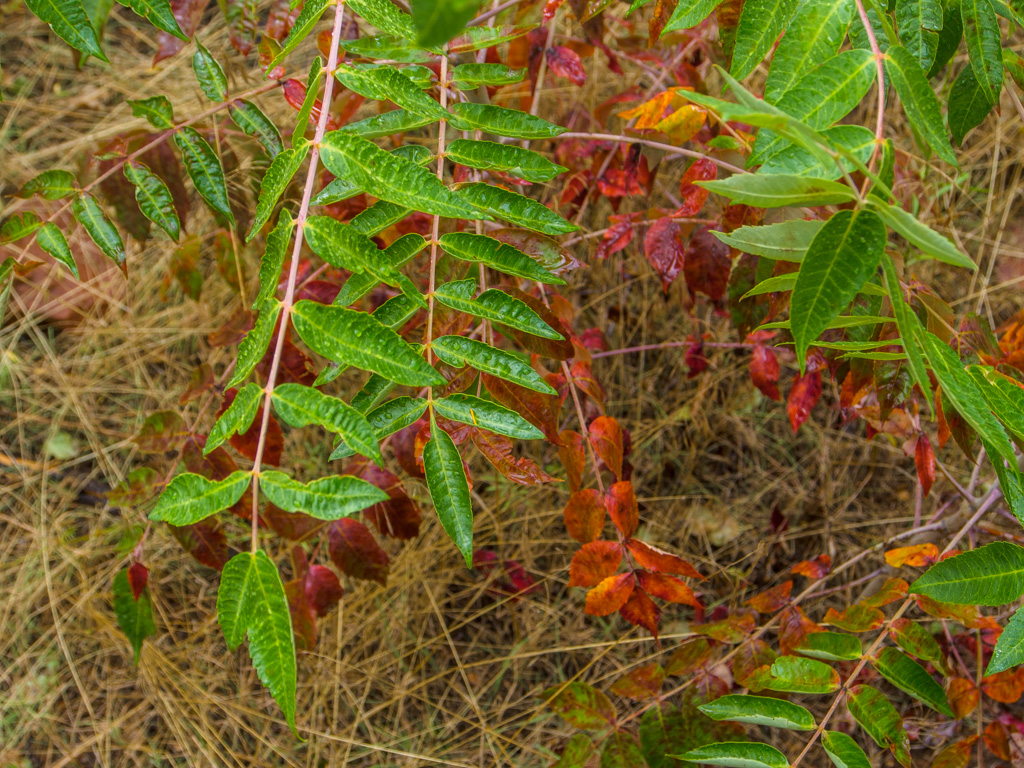
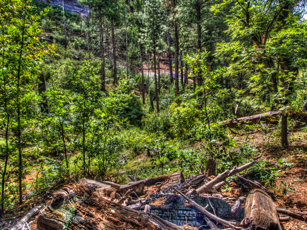
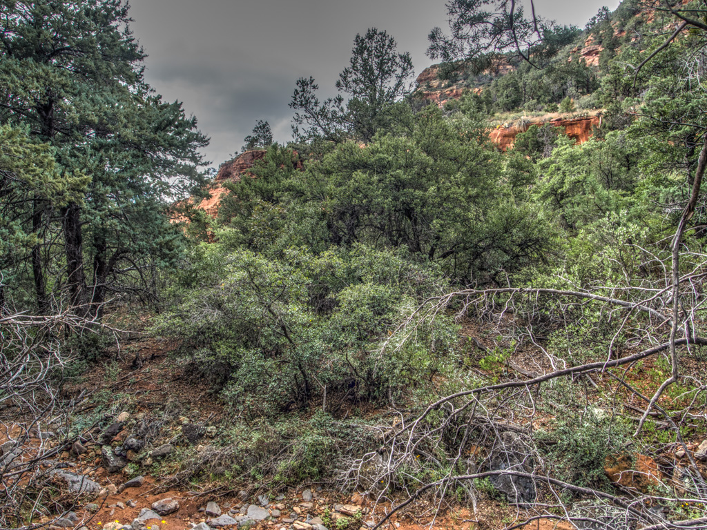
8 Rain has produced lush overgrowth this year.
9
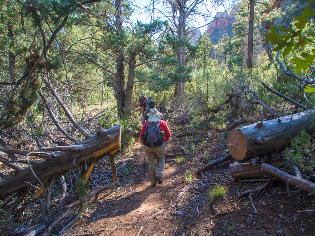
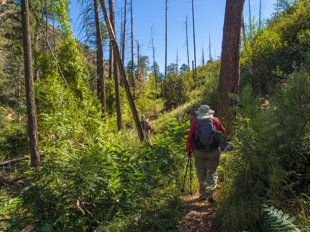
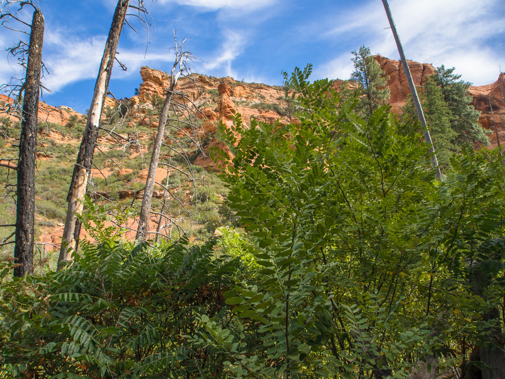
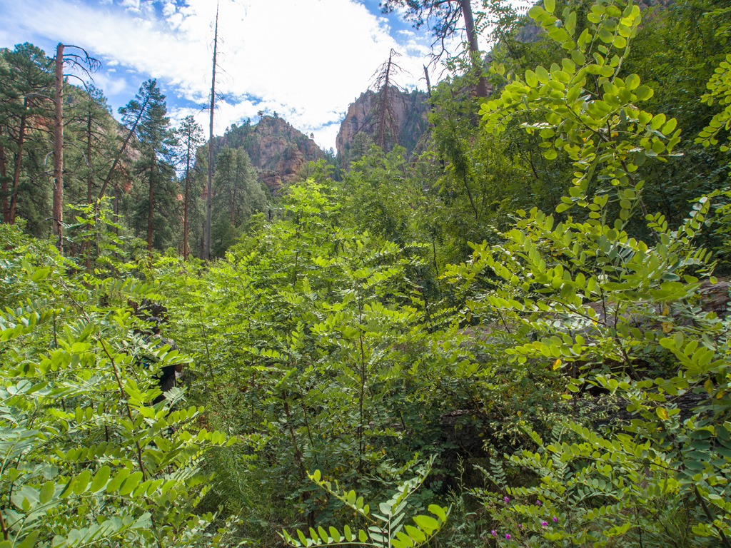
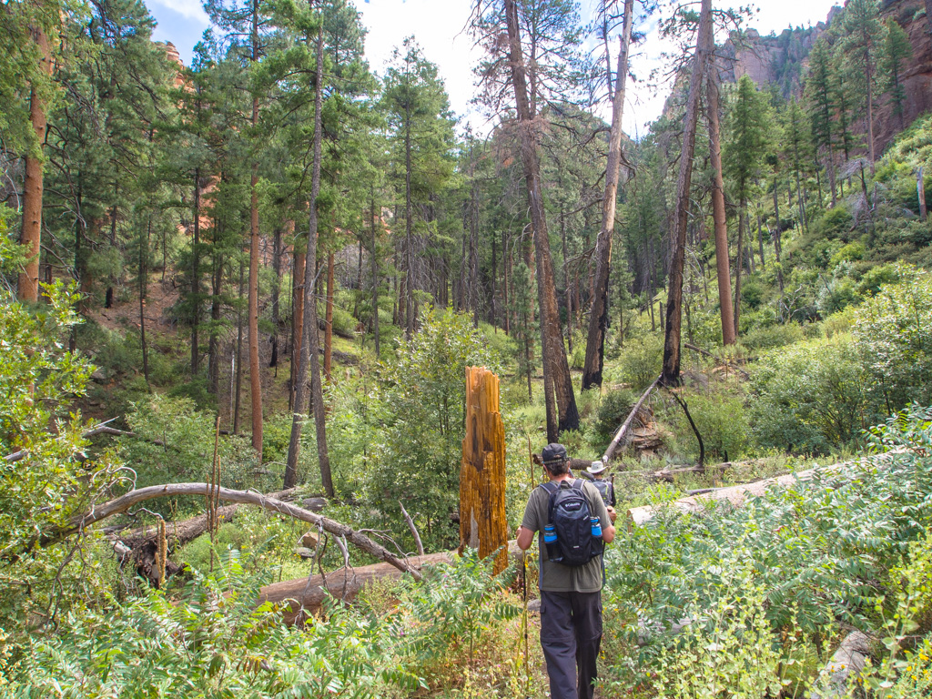
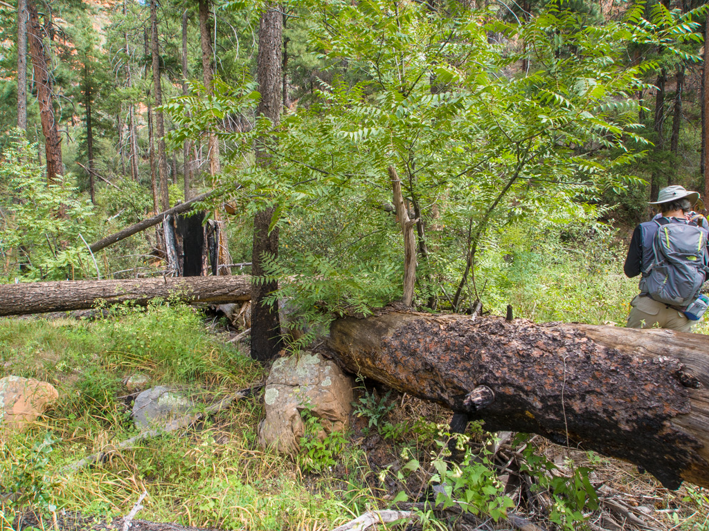
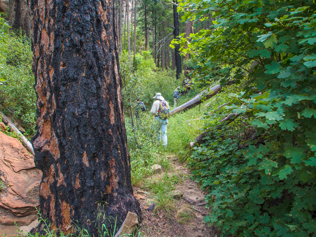
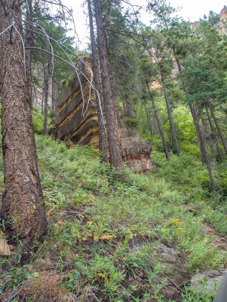
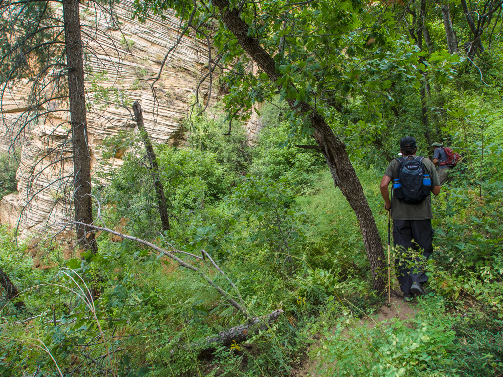
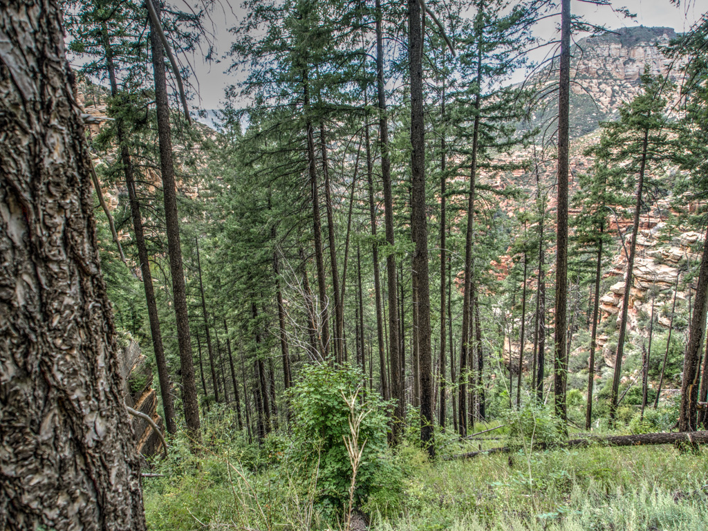
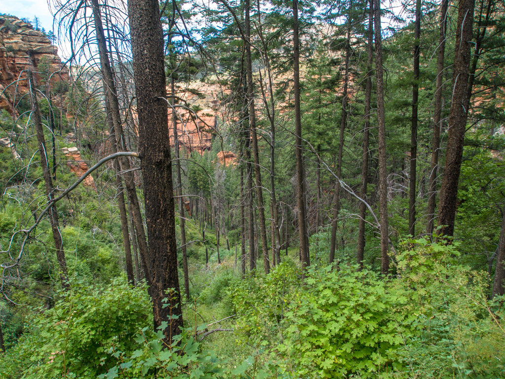
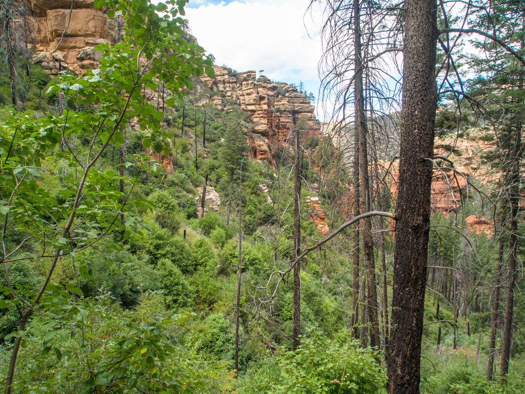
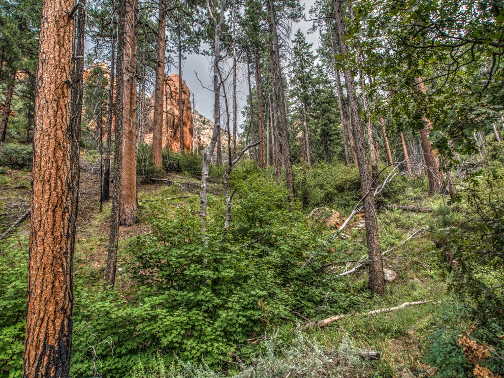
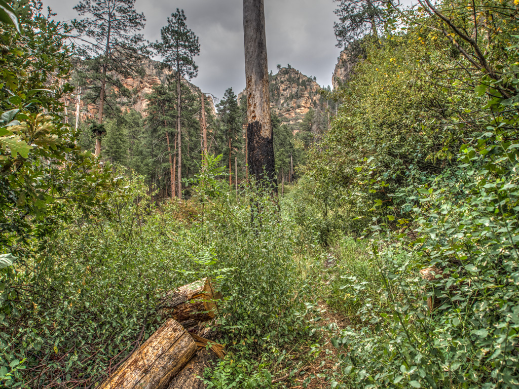
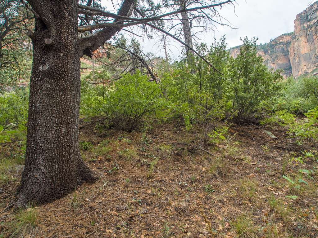
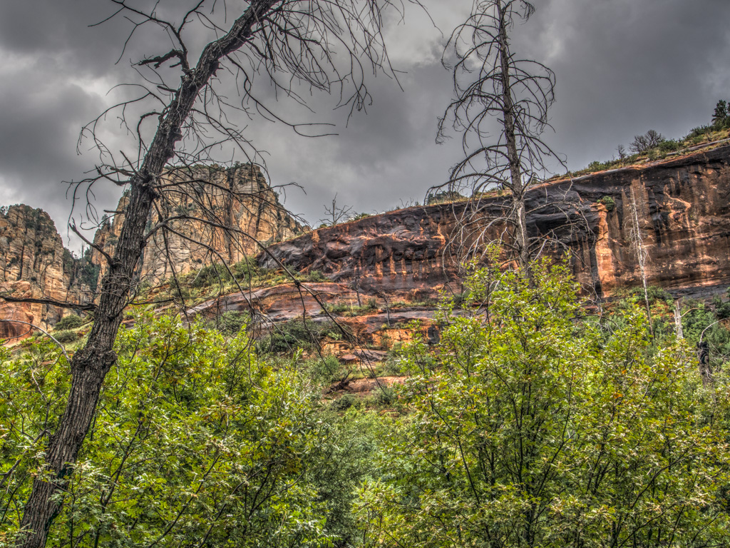
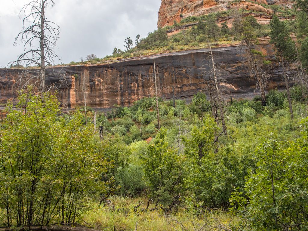
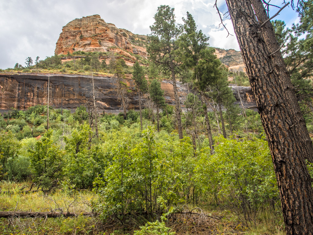
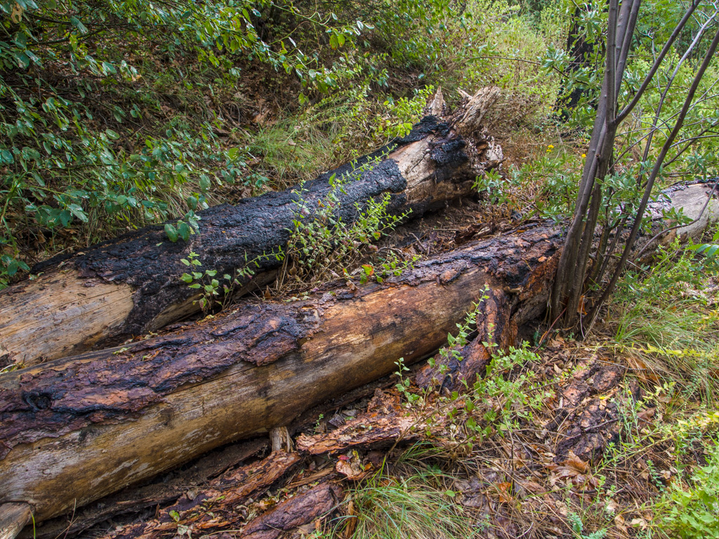
10 Some parts of this canyon were hit by the Brins Mesa Burn
11
12
13
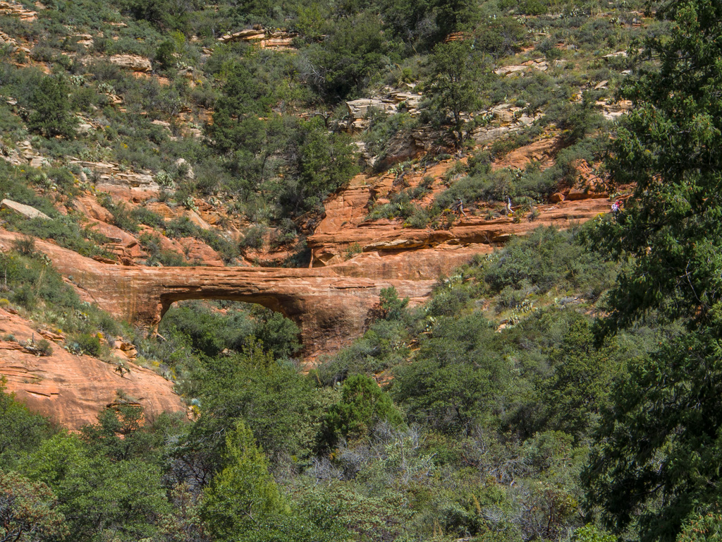
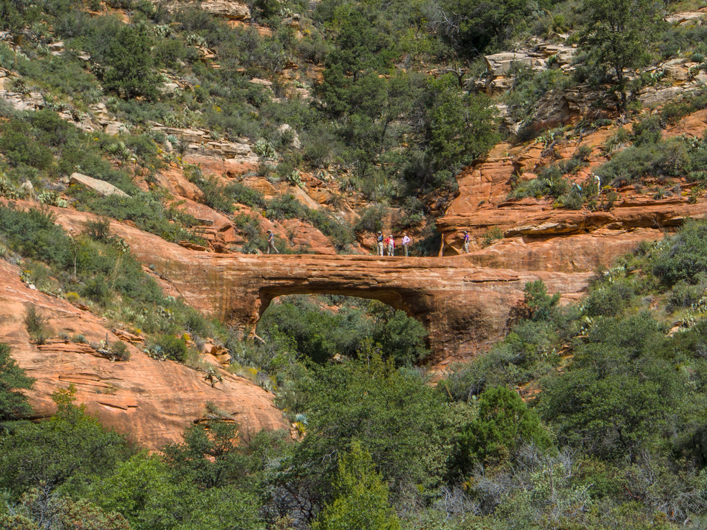
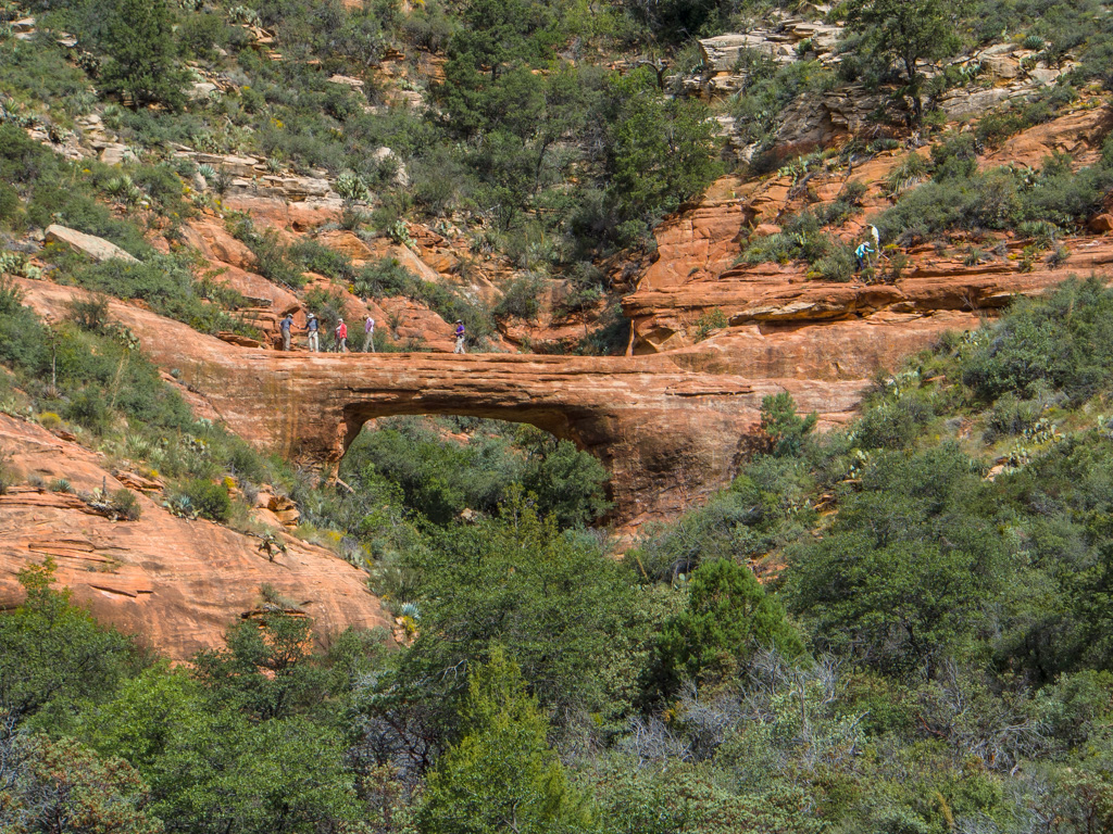
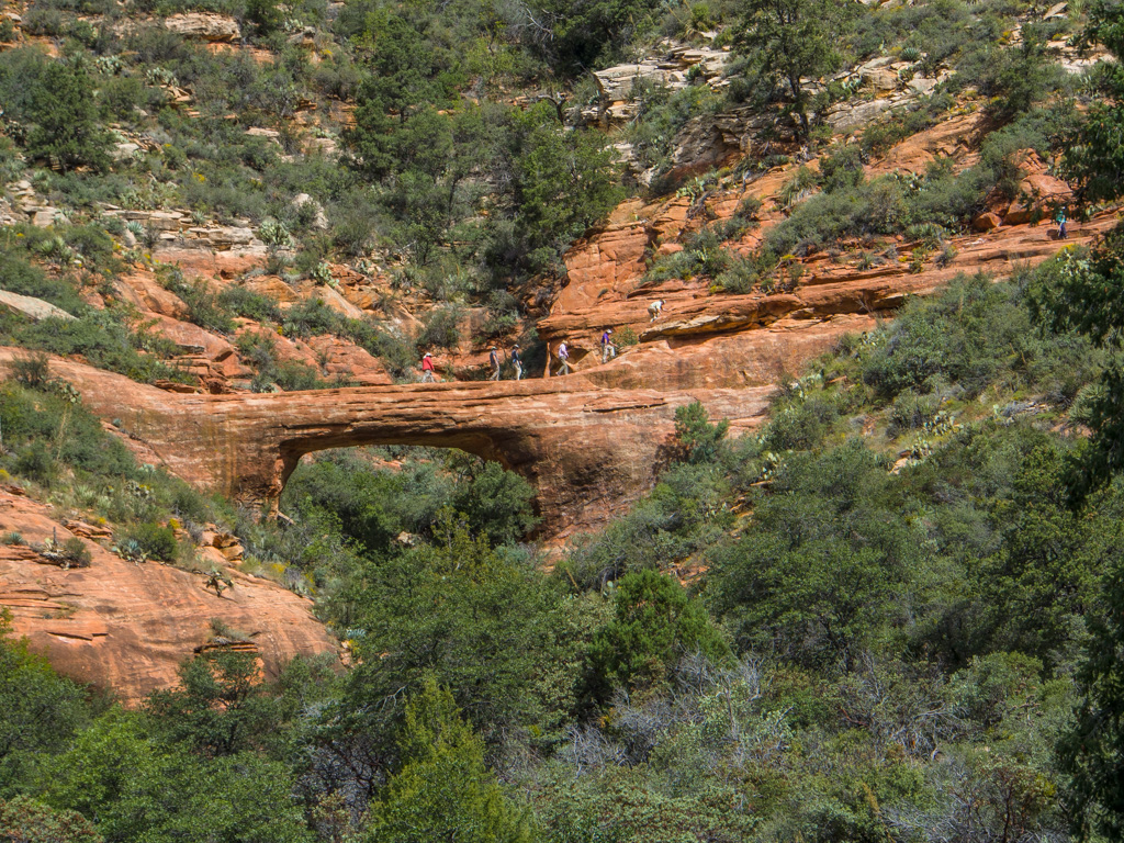
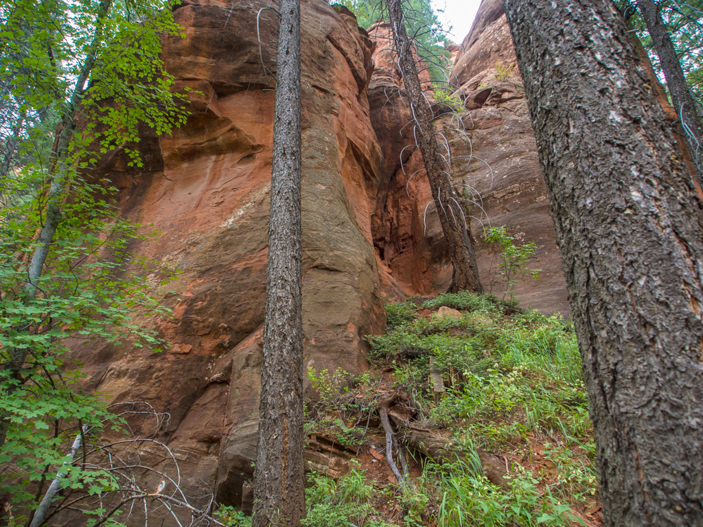
14 Vultee Arch
15
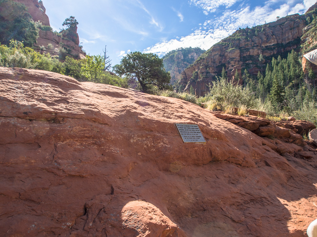
16 Below the Vultee Arch. This is the memorial plaque to Jerry Vultee, who died in a 1938 crash on the Rim.
17
18
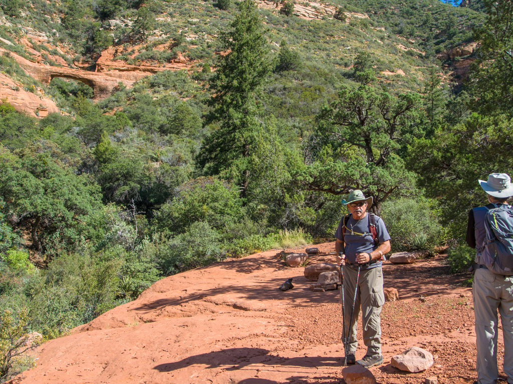
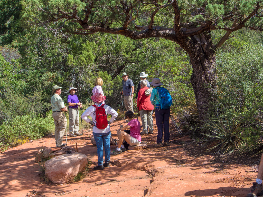
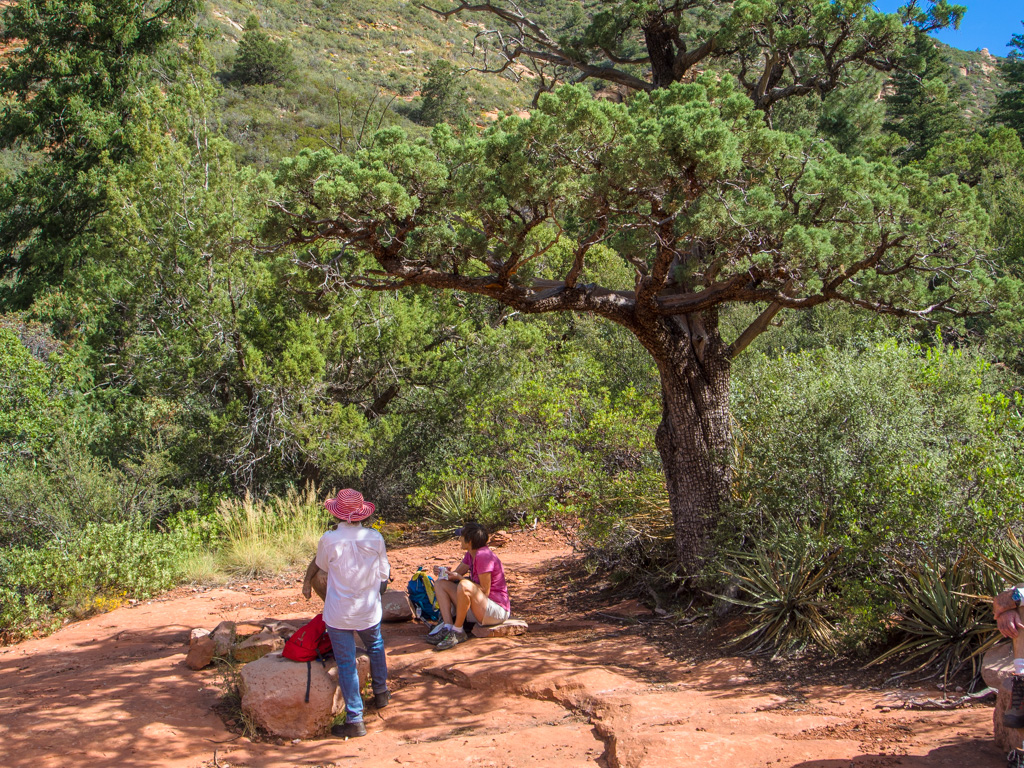
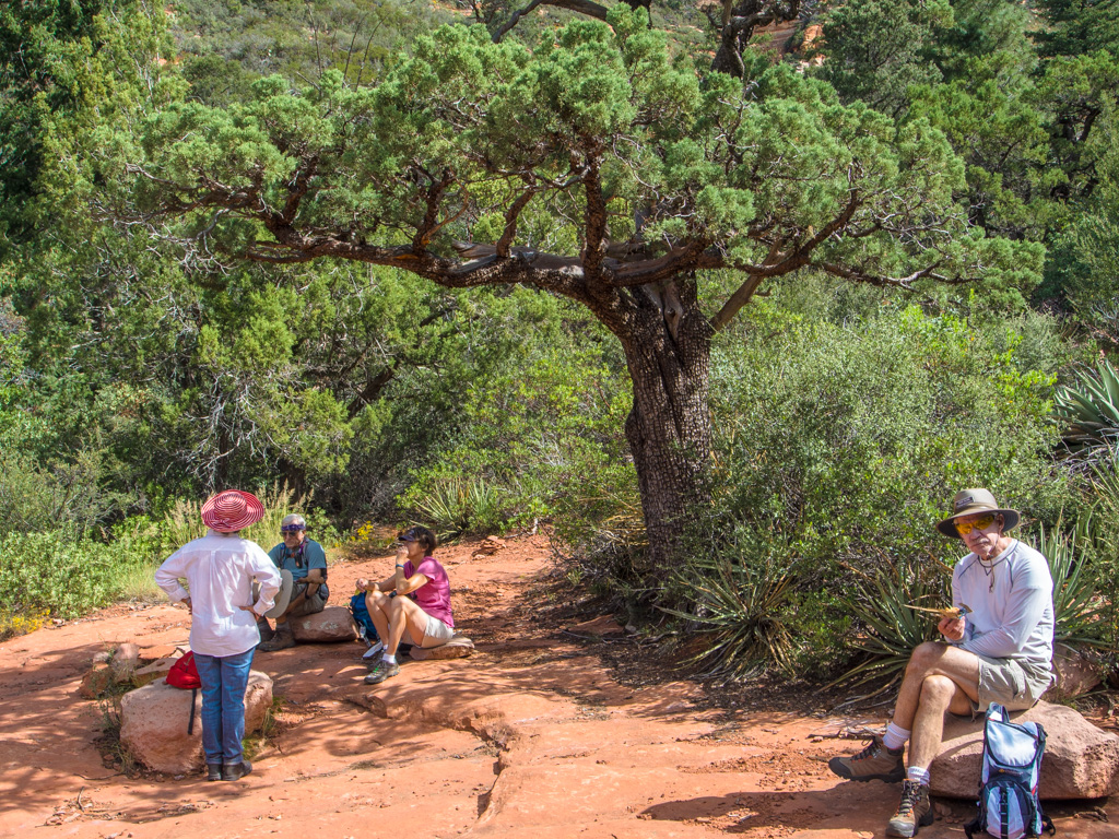
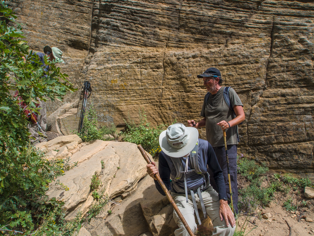
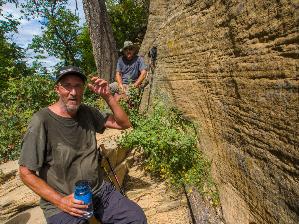
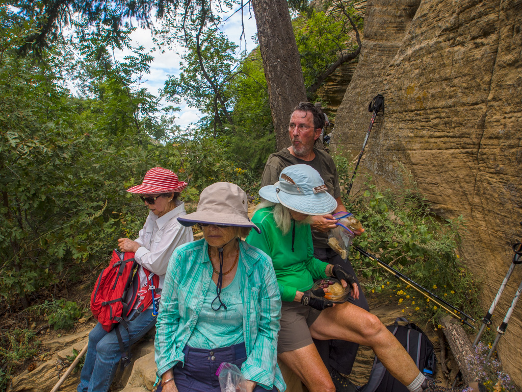
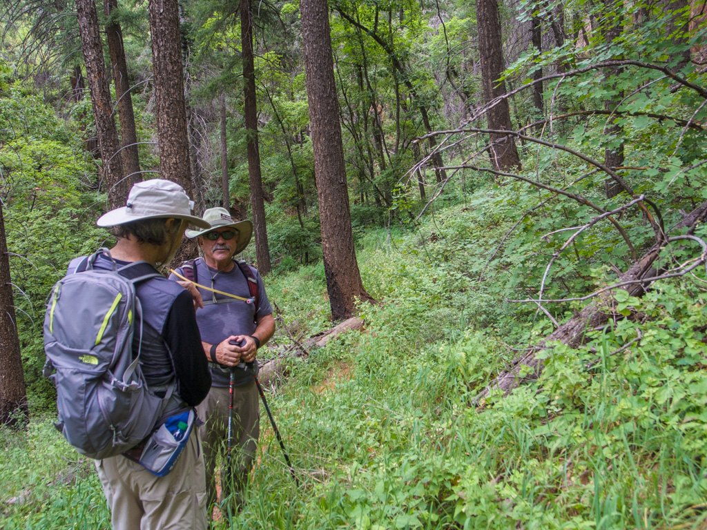
19 We call a break while some of us climb to the Arch
20
21
22
23
24
25
26
27
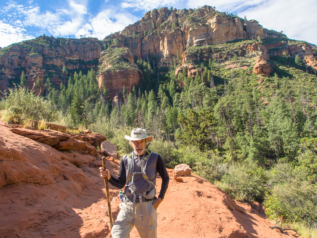
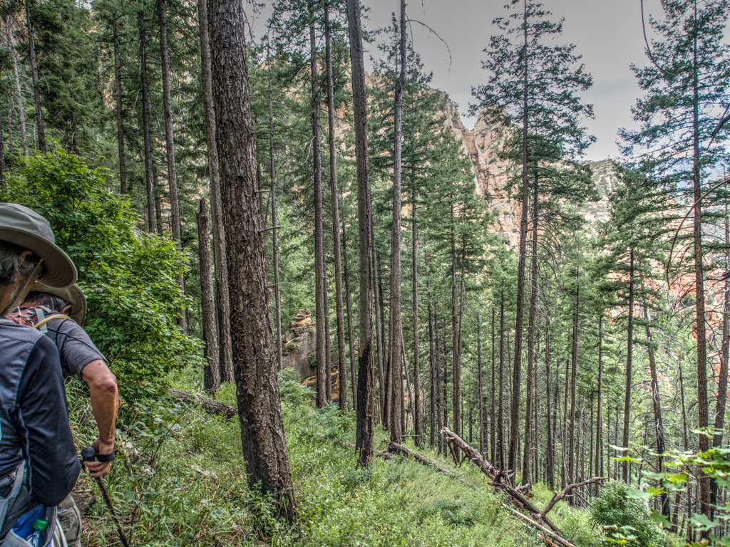
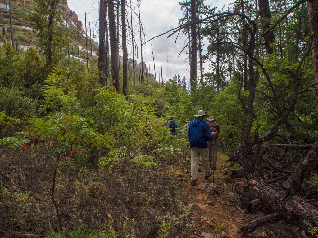
28 Onward to the top of the pass
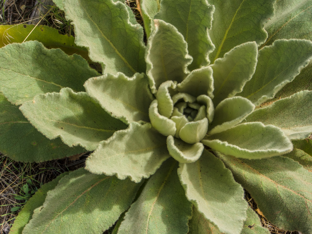
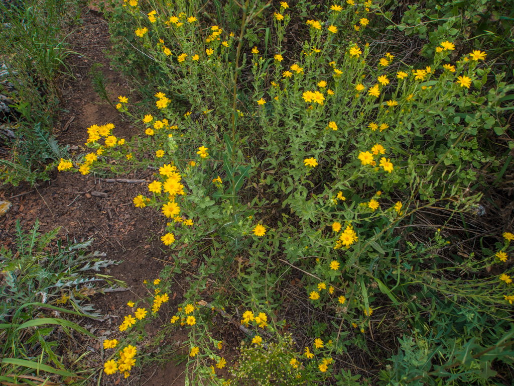
29 A mullein plant
30
31
32
33
34
35
36
37
38
39
40
41
42 The burned trees are starting o fall
43
44
45
46
47
48
49 The final, steep climb to the top of Sterling Pass
50
51
52
53
54
55
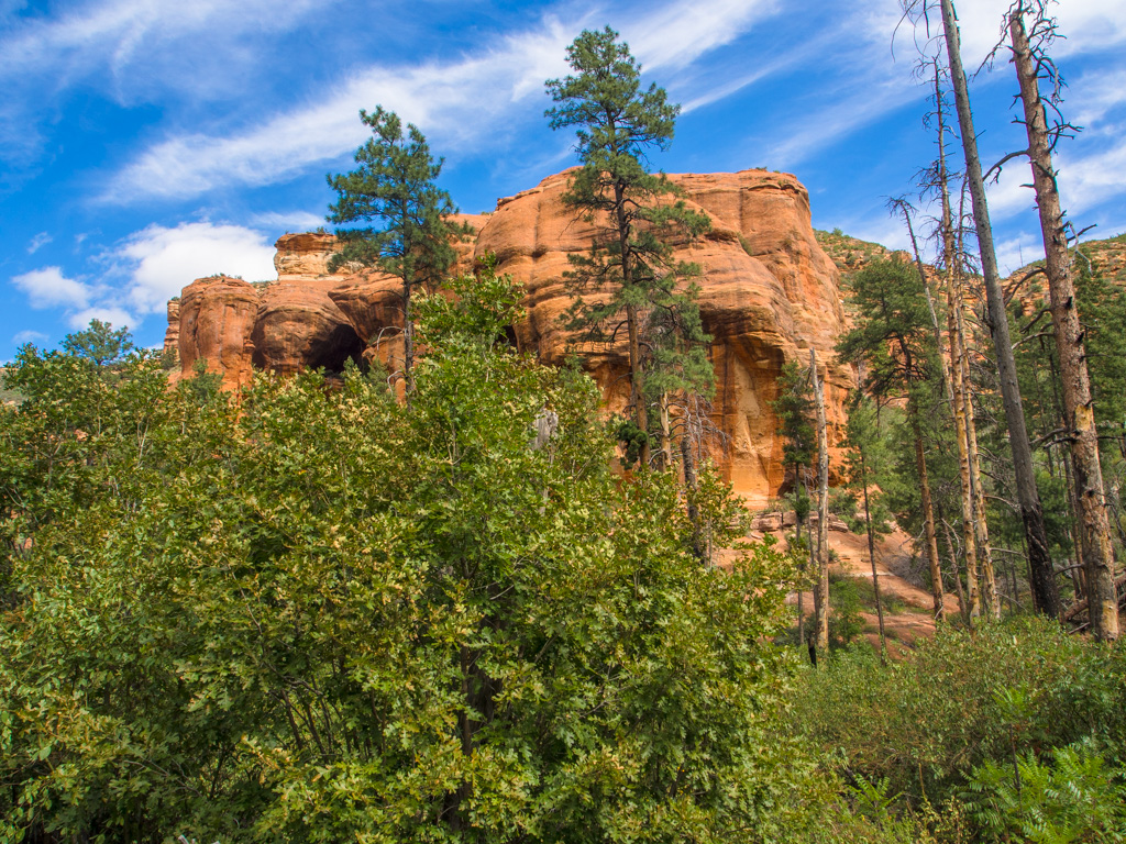
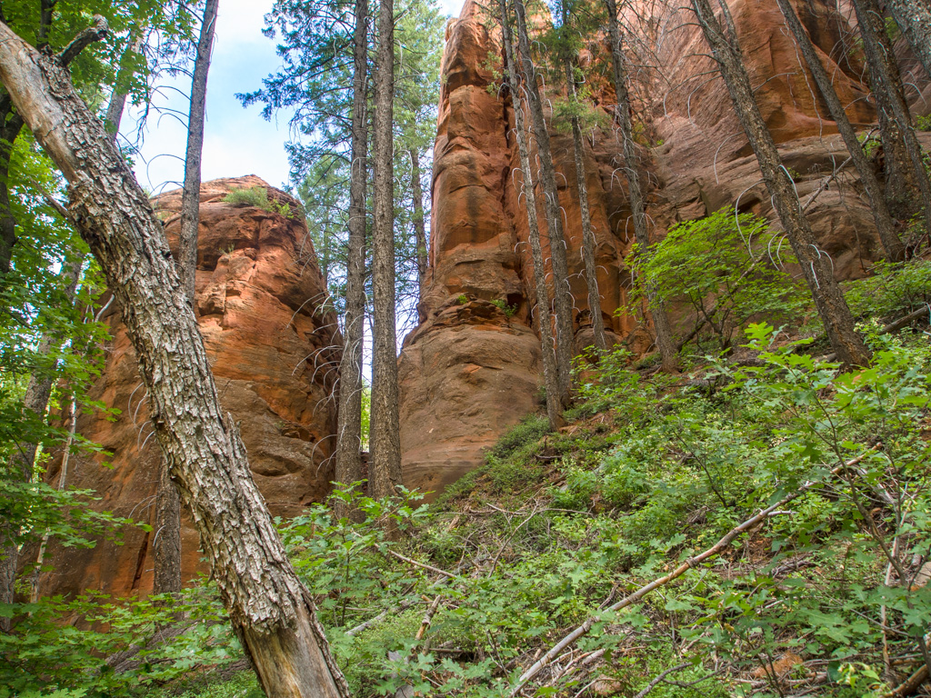
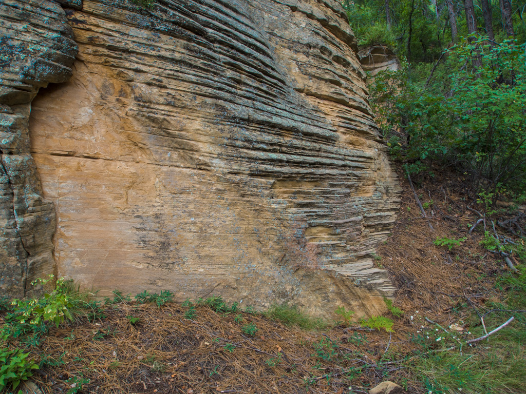
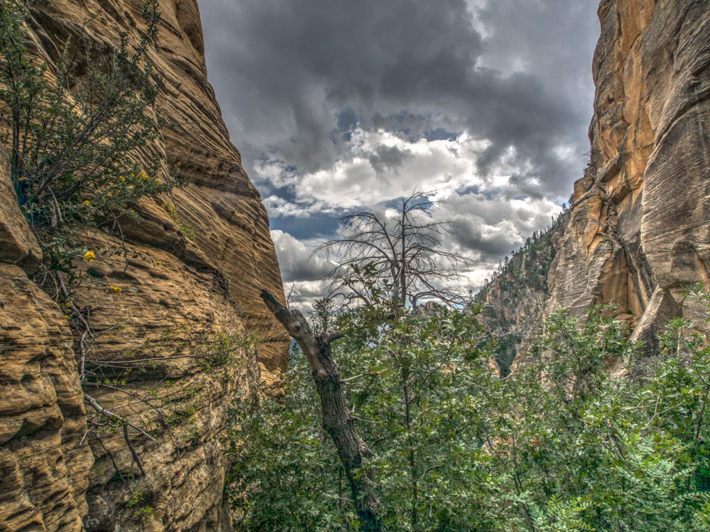
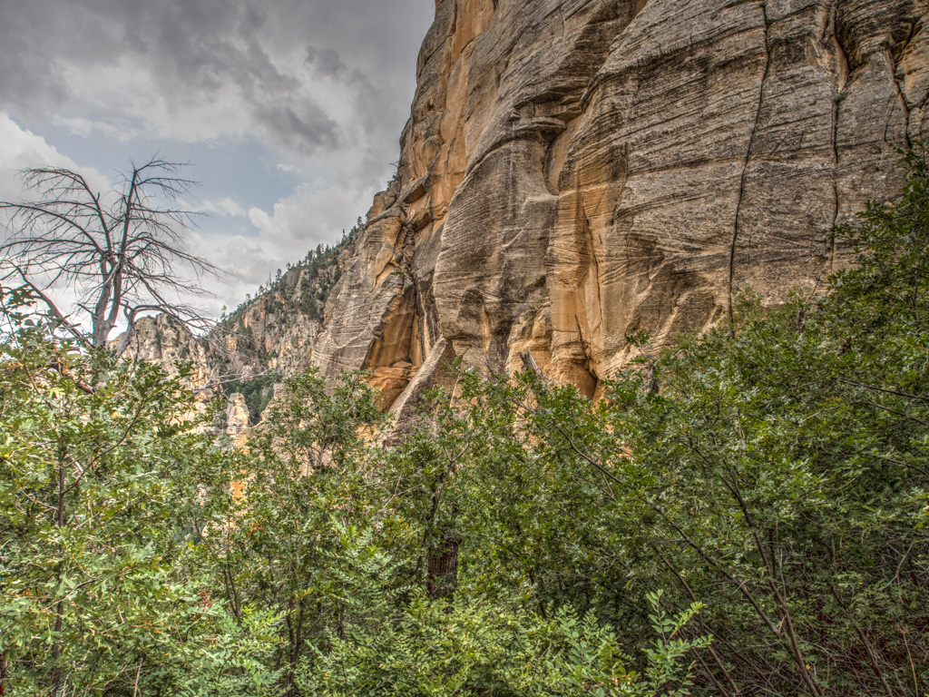
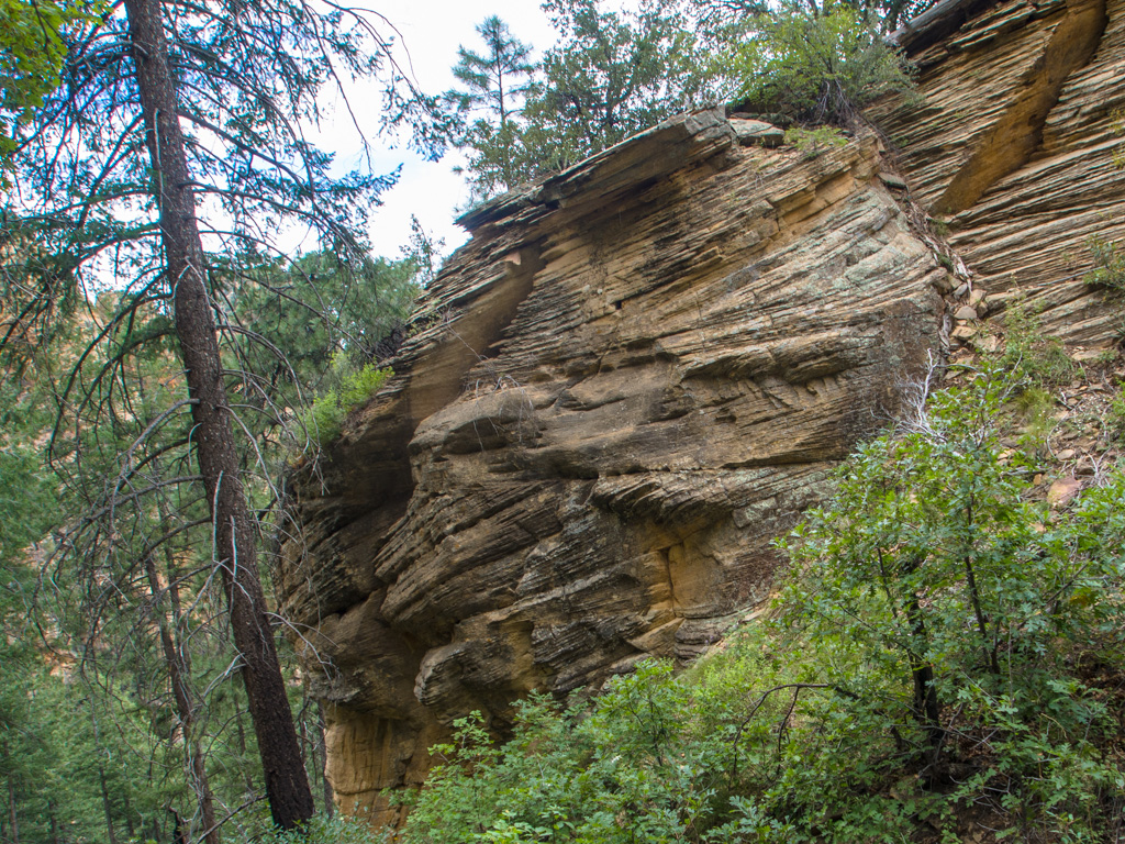
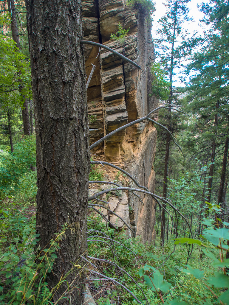
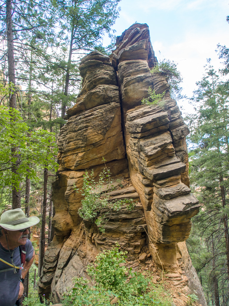
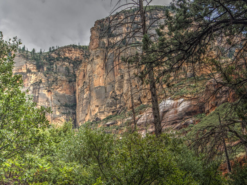
56 There are several huge outcroppings on the trail up
57
58
59
60
61 Top of the Pass, and lunch
62
63
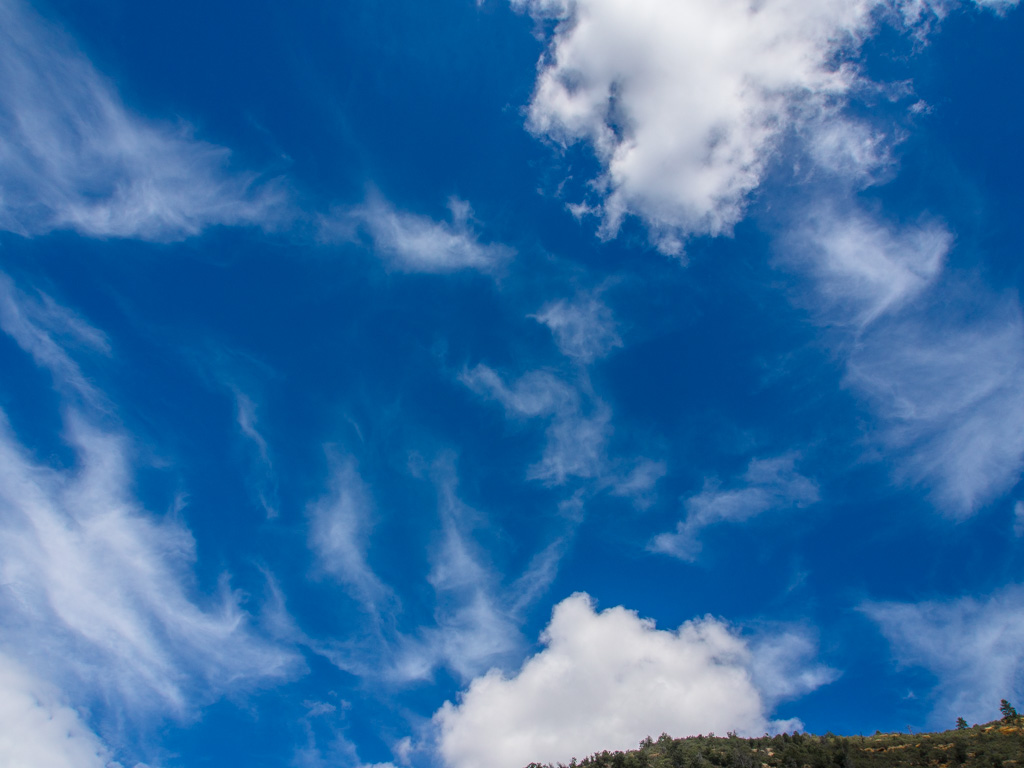
64 Now the weather is closing in, and rain threatens
65
66 We cut lunch short and start down
67
68
69
70
71
72
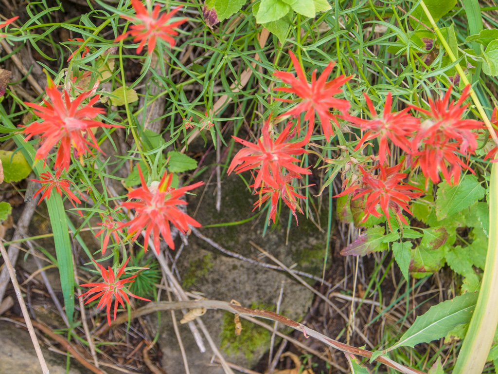
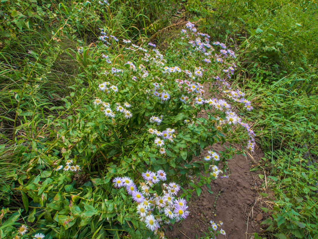
73 Fleabane
74
75
76
77
78
79 It's raining!
80
81
82
83
84
85 The first touches of fall color
86
87
88
89
90 Fortunately, it's only drizzling
91
92
93
94
95
96
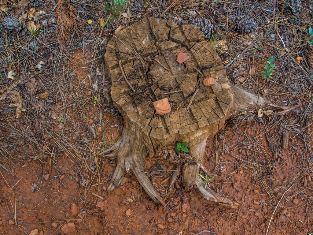
97 Do the crosshatches on this stump mark an intersection?
98
99
100 The rain stops as we near teh end of the trail